

Day two’s hike takes us through Disa Gorge towards the Cable Way. It’s now that I understand why the brochure states that the trail is “for the experienced hiker.”
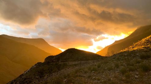
In between trying to breathe and put one foot before the other, you can’t help but feel a hippie-desire to hug the trees towering above. The odd disa flower glows in between dense greenery. After one of the last greulling uphill ascents, we reach the two resevoirs atop Table Mountain. We cower in a cave, looking out over dams and a view that not even the widest wide angle lens could capture.
During the two days of hiking, Trail Manager, Stephen Lamb, and the trail guides tell us more about the area we’re walking through. “We’re not in the money-making business,” Stephen says. “We’re in the forever business. We’re here to teach people about the biodiversity of this gem in the city, and to streamline and soften the footprint of tourism, without lessening incoming funds.”
Another purpose of the Hoerikwaggo Trails is job creation. The guides are all recruited from disadvantaged backgrounds and are professionally trained, in tourism, guiding and first aid.
After about six-seven hours, we see the outline of the cable car ahead of us. Having bonded well with this new family of hikers over the last two days, I wish the outline away, pretending it’s a mirage. My legs feel tight but have another day or two in them. From Maclear’s Beacon, at 1086m above sea level -the highest point on Table Mountain -you have a full 360-degree view of the city. If only I had my bunji-jumping rope with me.
As the new year rushes ahead of us, with shops already stocking up on Easter eggs and pretty soon probably tinsel and fruit cake too, take time out to answer that call of the wild.