


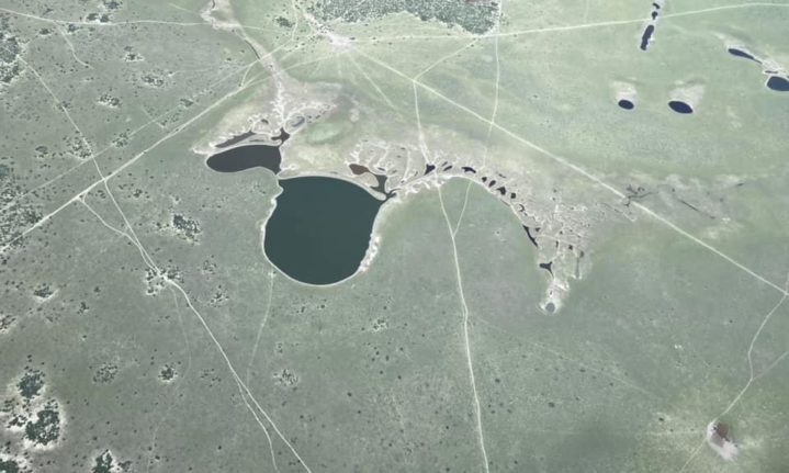
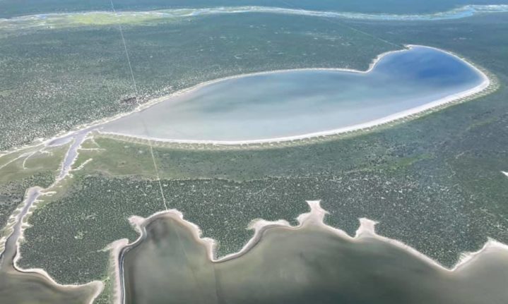

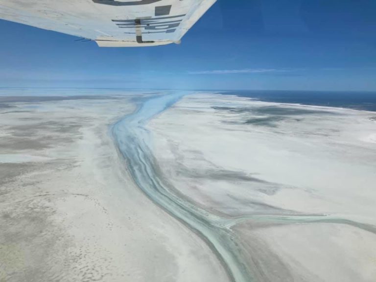
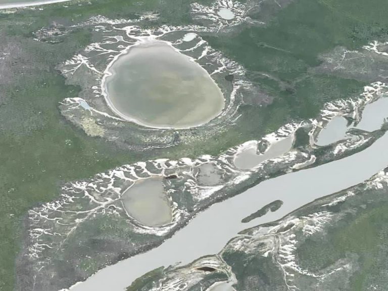
Etosha National Park in Namibia is one of the continent’s most impressive natural landscapes. Its famous salt pan covers a vast 4,800km², almost a quarter of the Park.
The pan stretches130 km long and 50km wide in some places, making it the largest salt pan in Africa according to Etosha National Park.org. Years ago, it used to be a lake, but because of climate change and other factors the rivers that flowed into it have all changed course.
‘Etosha’ means the ‘great white place’ in Ovambo and this distinctive feature can even be seen from space.
According to one San legend, a small village in the area was raided and attackers killed all the inhabitants except for a few women. One of them, who lost her entire family and home cried until her tears formed a massive lake, and left the large salt pan when it dried up.
This year brought unusually heavy rains to Namibia and rainfall levels totalled up to three times the norm in the northeastern, central, and southern parts of Namibia according to Earth Observatory.
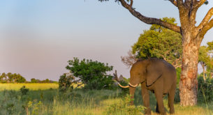
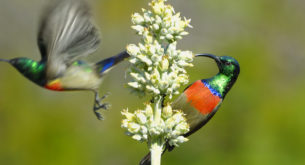
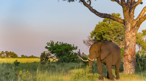
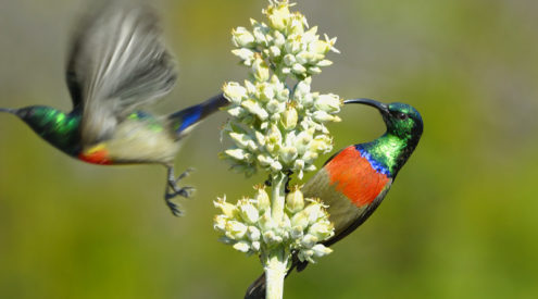
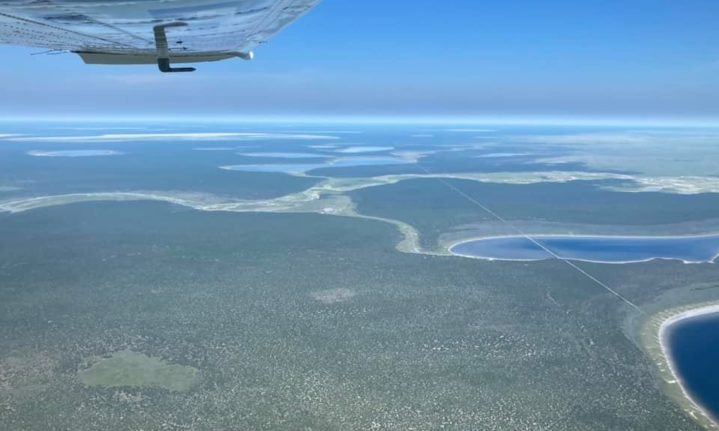
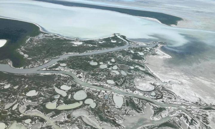
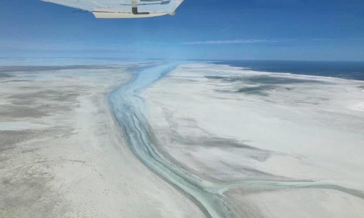
Take a look at these mesmerising pictures taken by Peter Keil in February when he flew over Etosha National Park.


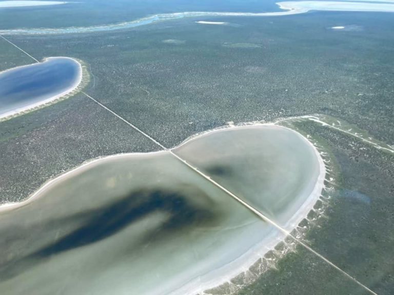

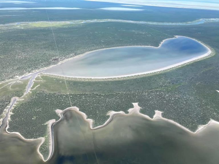
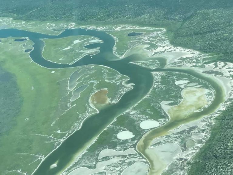
Pictures: Peter Keil