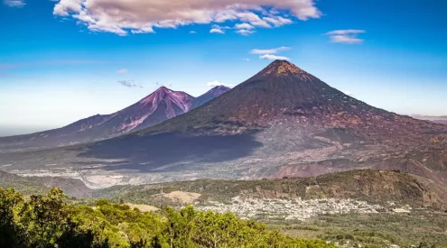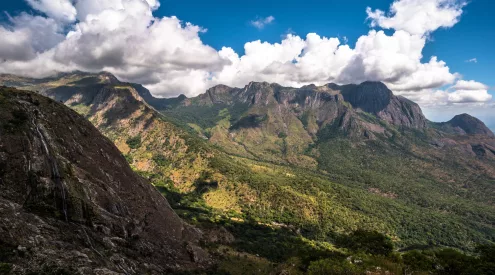
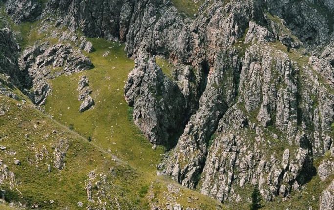
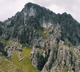
Arangieskop is the beautiful and challenging 21km two-day hike in the Dassieshoek Nature Reserve near Robertson in the Western Cape. With a near vertical route, with only slight relief when crossing over one of the mountains valleys, it is no surprise that it’s often referred to as the ‘Kilimanjaro of the Cape.’

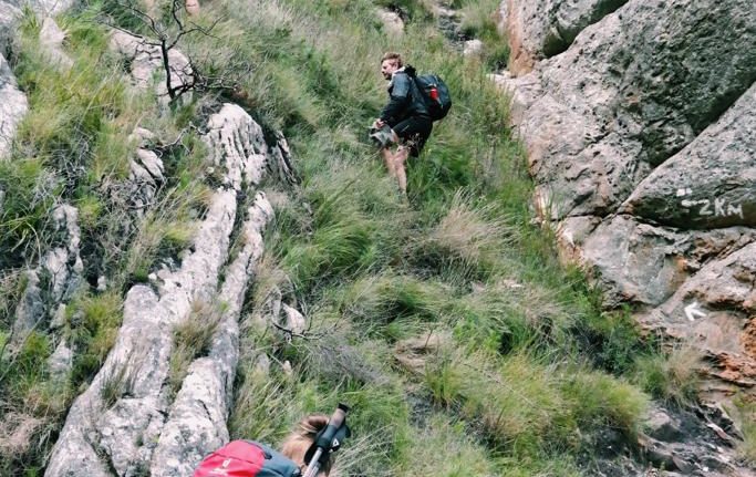
Day one is a steep uphill to reach the summit, climbing over smaller peaks to reach the top.
The hike starts at the entrance of the nature reserve and once you begin the ascent it doesn’t level out much until the cabin just below the summit. The intimidating peaks of the mountain keep you motivated as you climb, as you leave tever-shrinkinging town of Robertson behind.
Although it is a difficult climb, taking it at your own pace and stopping to take in everything around you makes it manageable. The effort is all worth it to experience the inspiring natural beauty all along the mountainside.
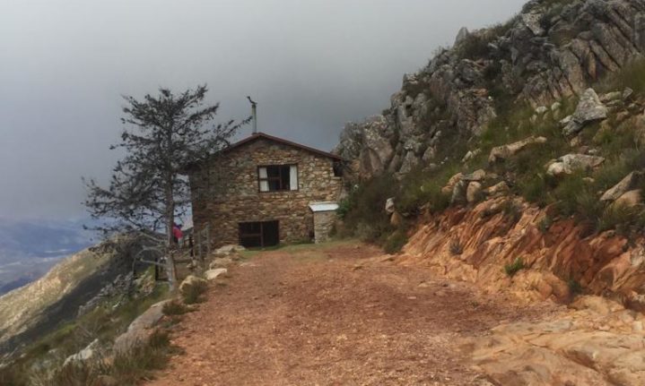
The Arangieskop cabin just below the summit provides hikers with relief and is the perfect place to put your feet up and take in the views of De Doorns below. The hut has hot water, flushing toilets and a fireplace to warm you up if the weather isn’t that pleasant.

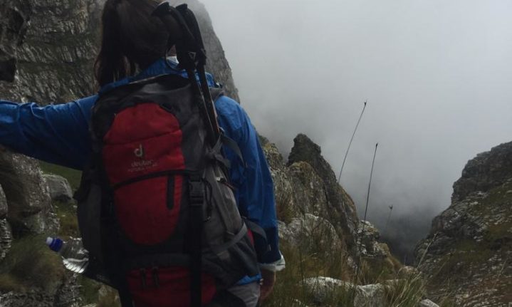
You summit the mountain, on day two, climbing up behind the cabin to reach the top and if there are no clouds, take in the view at 1,696m above sea level (by way of comparison, Table Mountain is 1,086m at its highest point). The hike continues from here down over the peak and into the valley that leads down the mountain. Although downhill, the days’ climb is no less strenuous than the previous one, especially if it’s a bit wet and rainy as the path can get very slippery. Trekking poles are a good idea to help prevent putting unnecessary strain on your knees.
Although mostly downhill, the second day’s route does include a few uphill scrambles, with chains to help climbers haul themselves up. This route is not for those with a fear of heights.
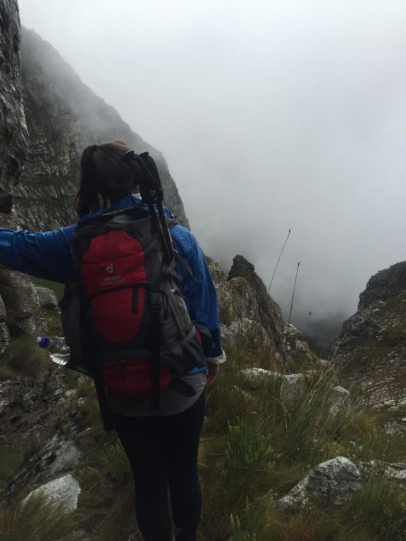
Moving down the valley can prove difficult when it’s overcast. A raincoat is a must. Emma Strumpman.
The circular route is accurately marked with a white footprint going up and a yellow footprint going down, both of which seem to appear just as you start to feel like you might have gotten a bit lost. While the path may be overgrown in some areas, it is still manageable and lends a bit of excitement when trekking through what feels like untouched wilderness.
This hike is a must-do for hikers who are keen to try something beyond the beaten Table Mountain tracks. It is a great way to experience this part of the Western Cape and get away, challenge yourself and reset.
Difficulty: It’s not called the Kilimanjaro of the Cape for nothing. The steep incline on the first day and sharp decline the second day are hard on the knees and require a good level of fitness.
What you need to pack: The hut at the top of the mountain is equipped with cooking pots but you will need to carry everything in your pack. So being smart about packing is essential. If you’re going in a big enough group divide the foodstuff, crockery and cutlery between you evenly to lighten the load. Have a change of clothes for day two and a raincoat as it can get very wet when the clouds settle over the peak. A sleeping bag and small pillow are needed for the night and of course plenty of water, though there are streams along the route to fill up from.
How to get there: The start of the trail is found up a winding mountain pass just above Robertson. Once you’re in Robertson, turn left into Paul Kruger Street then left into Paddy Street. Drive over a few speed bumps until you get to a dirt road. You will pass the Dassieshoek Cottage where you can book to stay overnight before starting the next morning if you wish. Just beyond that is the beginning of the trail.
How to book: You will need to book space in the cabin at the top of the trail and a permit for the hike. This can be done via email to the Langeberg Municipal offices in Ashton at [email protected]. Following proof of payment, the booing office with give you the permit, information leaflet and map of the trail.