


The Western Cape is lucky to have mountains and varied landscapes that make the area any trail runner’s dream. With the copious interlinking tracks, the options are endless. We’ve asked Robert Henning from Pacer Running to share his local insight into his favourite trails around the cape.
1. Mont Rochelle, Franschhoek
Start: Mont Rochelle nature reserve main gate (R50 entry)
Difficulty: 6-8/10
Route: With a wide array of trails, some as short as 2km to the 13km Perdekop and DuToitskop trails. The Mont Rochelle Nature Reserve is part of the UNESCO-declared Cape Winelands Biosphere Reserve and offers spectacular views of the Franschoek valley.
Difficulty: 6-8/10
Also Read: A whopping list of things to do in Cape Town on a budget
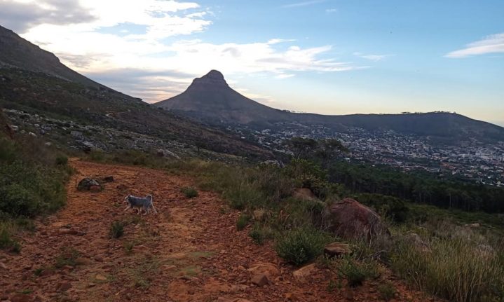
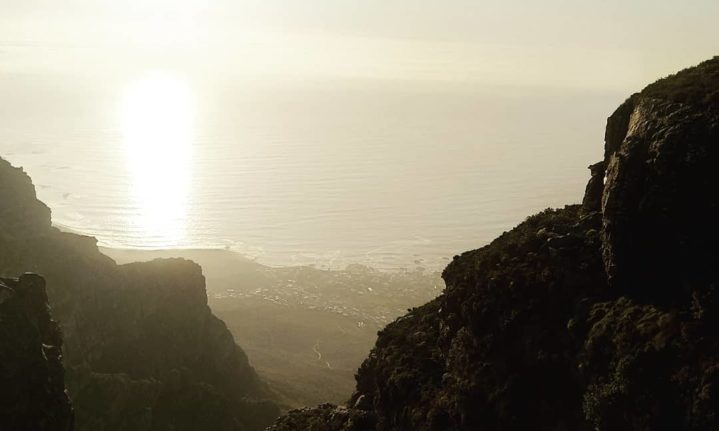
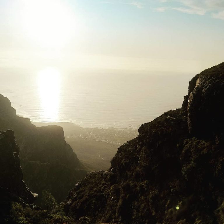
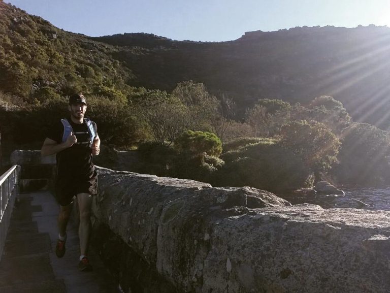
2.Pipe track, Kasteelspoort, Table Mountain
Start: Kloof Nek Parking Lot
Difficulty: 7/10
Route: Starting at the parking lot, head in the direction of Camps Bay on the pipe track. Once on the pipe track, a few options are heading up to the top of the ending at corridor ravine. A favourite route to summit the top is via Kasteelspoort. From here, you can choose to explore the dams ahead of you, the 12 apostles on the right, or left toward Platteklip gorge and the cable car. The latter is a great choice if you would like to see the views from Platteklip or take the cable car down if you get too tired.
3. Contour Path to Blockhouse, Table Mountain

Start: Kloof corner parking area.
Difficulty: 6/10
Route: Up kloof corner, and along the contour path, head all the way to the king’s blockhouse. From there, you can either turn around and go back the same way or head down and back along Tafelberg road. Another option is along the gravel roads above Rhodes Memorial.
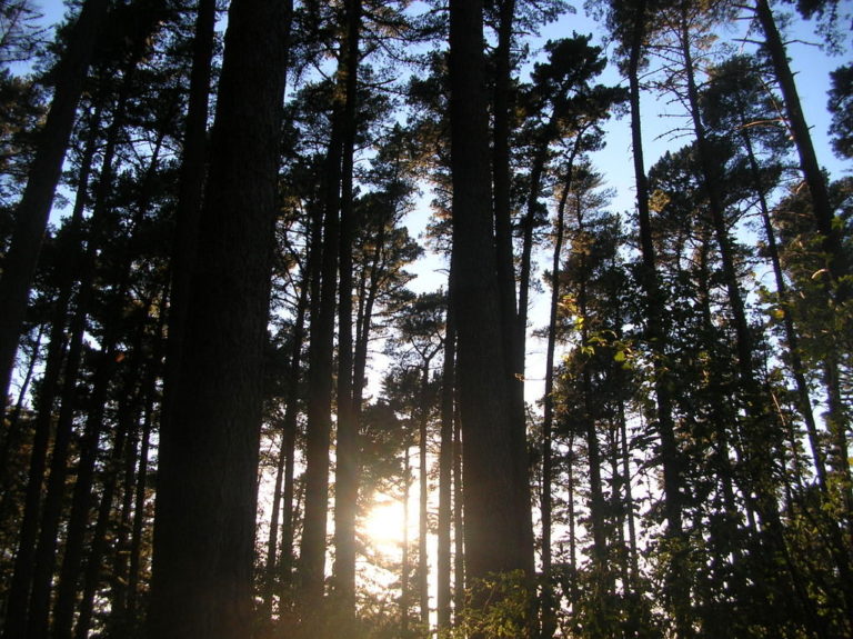
4. Newlands Forest, Table Mountain
Start: Newlands forest parking lot
Difficulty: Varied (from 3-8/10)
Route: There are so many to choose from, depending on your experience level and the difficulty you feel like tackling. The trails are marked quite well. Robert’s favourites are the mountain biking trails heading toward Kirstenbosch along the Silvertree trails. From there, turn up toward the contour path, back toward Newlands side, and right down a path just before the Newlands picnic spot. This heads right back to the car park.
5. Cecelia Forest / Constantia Nek to the De Villiers dam, Table Mountain
Start: Constantia Nek parking lot.
Difficulty: 7/10
Route: Head up the gravel road for about 100 before taking a left up a section of stairs, following the direction toward the jeep track. The path will intersect with the jeep track, taking you towards the de Villiers dam. You will reach the dam after a few KM. From there, you can descend back via the jeep track, or via Rooikat kloof, which takes you into the Cecelia forest and back past Cecelia waterfall.
6. Silvermine to Constantiaberg
Start: Silvermine Gate A (R50)
Difficulty: 7/10
Route: Starting at the main gate parking area (remember to bring R50 for the conservation entry fee), follow the route signs to the Constantiaberg summit. You can take a little detour to Elephant’s Eye along the way with some awesome views of the greater Cape Town area.
7. Stellenbosch Mountain

Start: Coetzenberg sports grounds, between the Danie Craven stadium and the Sports Science building.
Difficulty: 7/10
Route: There are so many options to take. You can stick to the lower trails along the mountain sticking to the mountain bike trails, and the infamous ‘G-spot. From there, you can continue to Eden in Paradyskloof or the Mont Marie MTB trails a little further on. If you would like a challenge, then you can tackle the Stellenbosch Mountain Summit. But be careful, there is some rock scrambling, so a fear of heights will not help.
8. Jonkershoek, Stellenbosch

Start: Jonkershoek reserve main gait (R50 entry)
Difficulty: from 5-9/10
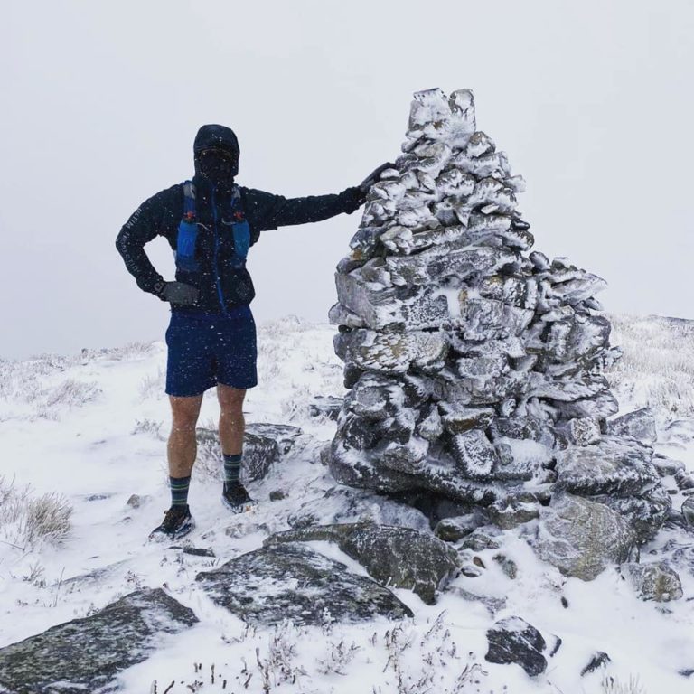
Route: So many routes to choose from, such as an easier route to the waterfall where you can give yourself a refreshing, but cold shower. The 10km panorama circular route, starting and ending at the hairpin bend of the circular drive through the valley. This panorama route offers spectacular views of the valley from the convenience of well laid out trails. Hit the trails in winter if you would like to see some snow.
9. Majik Forest, Durbanville

Start: Majik forest gate (upper or lower).
Difficulty: 5-6/10
Route: From a short 2km around the lower dams, or a full 10km to the top of the Majik forest behind protea valley, Majik Forest is a favourite escape for many from the suburban expanse.
10. Tygerberg Nature Reserve, Bellville
Tygerberg Nature Reserve. Picture: Wikipedia commons
Start: Tygerberg nature reserve main gate, Welgemoed (R15)
Difficulty: 4-6/10
Routes: There is about 13km of routes within the reserve, the longest single route being the 3,6km Golden Mole trail. The routes are relatively quiet, making it an ideal trail-running spot within the city’s limits.
For those fascinated by trail running, check out the 13 peaks route.
To find out more, visit Pacer Running or follow @henning.robert on Instagram.
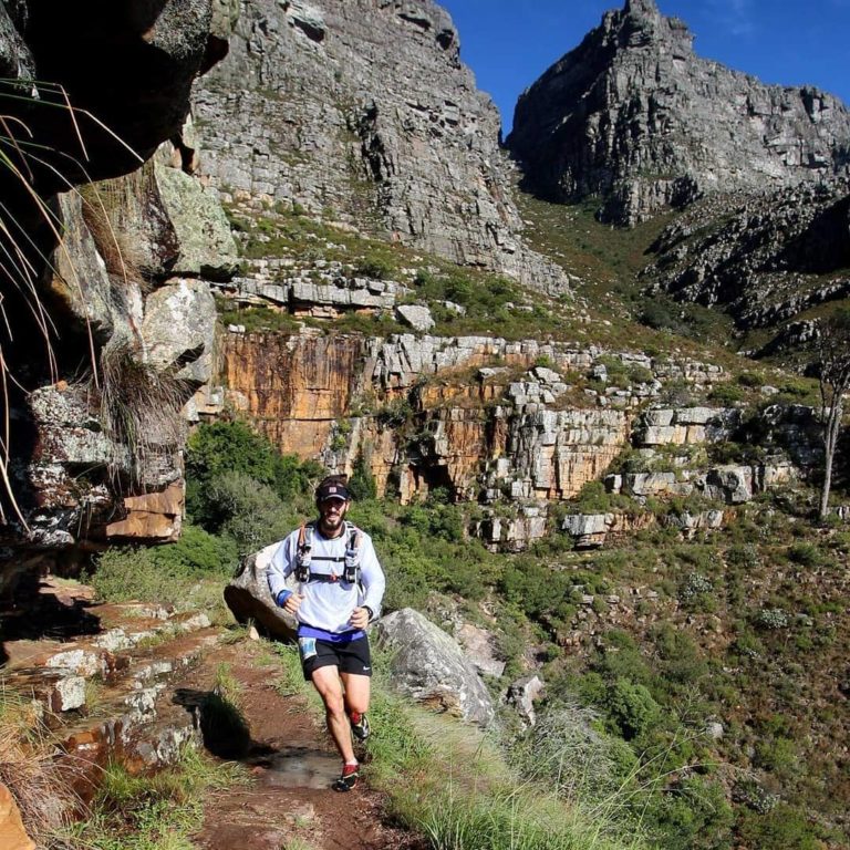
Pictures: Robert Henning