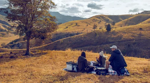


When you’re making your way through mountains and death-defying ravines, you want a map with all the nitty-gritty details to get you to your destination in one piece.
Slingsby Maps offers hikers peace of mind when they have unpredictable weather, boot blisters and backpacks to worry about. Its Table Mountain product is the only map officially endorsed by Table Mountain National Park and one of just three incredibly thorough maps documenting the area.

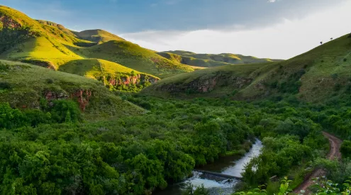
This Slingsby map is perfect for hiking
The depth of information on the Table Mountain XI map, including contour lines and colour shading, may be daunting at first, but it’s all necessary. There are clear descriptions of dangerous paths, steep inclines and exposure points as well as the hiking distances and estimated times – all you need to plan and prepare for the stretch ahead.
Every path is walked before being inscribed onto the map and old versions are never reprinted, but rather revised, improved on and published. Each map comes with a best before date to verify its age and accuracy. The reverse side carefully explains 23 different hiking routes, offers safety advice and emergency numbers if readers don’t heed their sensible cautions.

Slingsby Map to Table Mountain
Costs R99,95. Slingsby Maps, tel 021-788-4545, www.slingsbymaps.com.