



South Africa is a relatively young country by modern political standards, but the places we call home are anything but new. Long before colonial towns were mapped, roads were built or church bells marked the hours, people were living, travelling, trading and adapting to these landscapes.
Photo by Taryn Elliott / Pexels
That makes the idea of South Africa’s “oldest continuously inhabited places” a little more complicated than a simple list of founding dates. Cape Town may be the country’s oldest established city, while Stellenbosch is recognised as the oldest town in the formal European sense. But Indigenous communities have lived across parts of the country for thousands of years, and some of those traditions remain part of the landscape today.
Here are some of the places where that long history is still visible, and where a visit feels less like stepping into a museum and more like stepping into a story that is still unfolding.
Stellenbosch: the country’s oldest town
If Cape Town is the oldest established city, Stellenbosch has a different claim. Stellenbosch Municipality describes it as the second oldest town in South Africa, dating its establishment to 1679, when Governor Simon van der Stel named an island in the Eerste River Stellenbosch. The first farming activities in the area began in the same year.
There is an important qualification here. “Oldest town” refers to the formal town as a European-style settlement. The Stellenbosch Heritage Foundation itself points out that Indigenous settlements existed long before the colonial town was established.
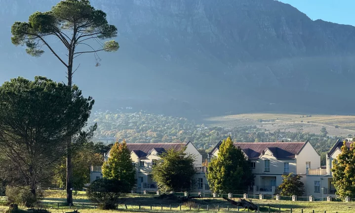
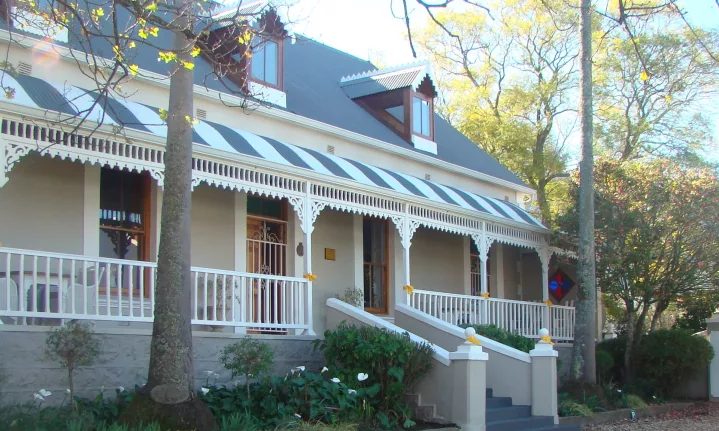
The town grew around agriculture, particularly wine and fruit farming, and its oak-lined streets and Cape Dutch architecture are now among its most recognisable features.
But Stellenbosch’s history is not confined to its prettiest buildings. The town’s story also includes slavery, forced labour, segregation and the development of a society shaped by people from very different backgrounds.
Why visit?
Stellenbosch is one of those places where you can spend a morning walking through history and an afternoon eating very well. The historic centre is compact enough to explore on foot, with routes taking in Cape Dutch buildings, old streets and landmarks dating back centuries.
The Stellenbosch Village Museum is another worthwhile stop. Its restored period homes span from 1709 to 1850 and offer a glimpse into different periods of the town’s domestic history.
And, of course, there is the wine. The surrounding Winelands have developed into one of South Africa’s best-known food and wine destinations, making it easy to combine heritage with cellar-door tastings, long lunches and scenic drives.
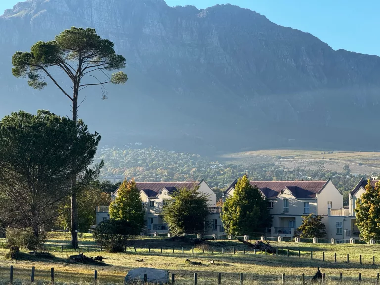
Photo by Nikita / Pexels
Swellendam: where the Overberg’s history meets the mountains
Head east and the towns become smaller, quieter and, arguably, even more atmospheric. Swellendam was officially established as a magisterial district in 1745, making it the third oldest town in the conventional South African ranking after Cape Town and Stellenbosch.
The district was created as the Cape settlement expanded inland and farmers needed government administration closer to their homes. The name Swellendam was adopted in 1747, honouring Cape Governor Hendrik Swellengrebel and his wife, Helena ten Damme.
But the area’s story reaches much further back. San hunter-gatherers and Khoekhoen pastoralists inhabited the Western Cape for thousands of years before European settlement. The Swellendam Heritage Association notes that these communities were already part of the region’s landscape and history long before the town was established.
Swellendam later became an important gateway to the interior. In 1795, its residents even declared independence from Dutch rule, creating the short-lived Republic of Swellendam before British forces took control of the Cape later that year.
Why visit?
Swellendam works particularly well as a slow weekend stop. The town sits beneath the Langeberg Mountains, close to the Breede River, with easy access to hiking, nature and the wider Overberg.
Its historic centre is worth exploring on foot, while the Drostdy Museum offers an insight into the town’s colonial past. Beyond the town, the surrounding mountains and reserves provide plenty of reason to stay longer than a quick heritage stop.
It is also an excellent base for exploring the Tradouw Pass and travelling onwards towards the Klein Karoo.
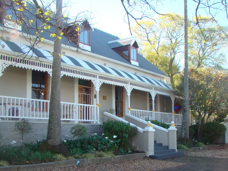
Photo by Oudepastorie / Wikimedia Commons
Simon’s Town: a little seaside settlement with a big maritime history
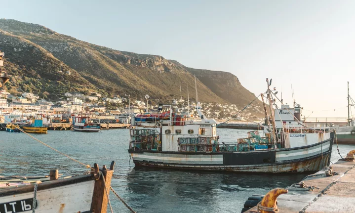
On the Cape Peninsula, Simon’s Town offers a very different kind of old-world atmosphere.
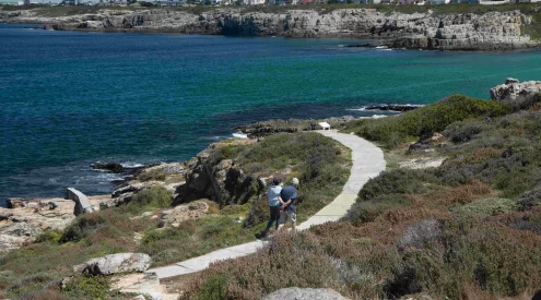
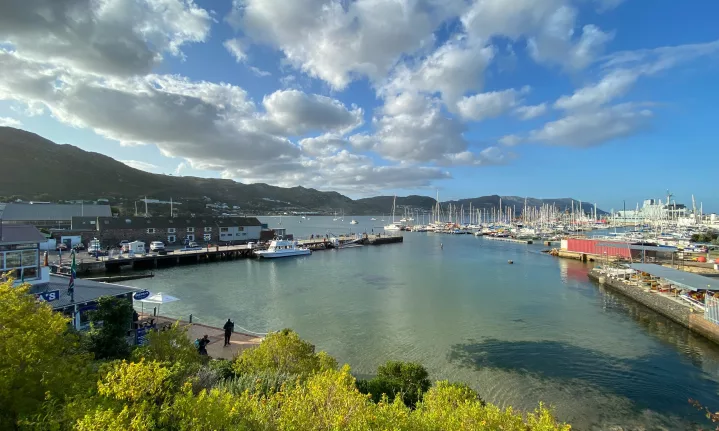
The town developed around Simon’s Bay, an important natural anchorage that became the official anchorage of the Dutch East India Company in 1743. The settlement initially remained small, with many residents connected to the seasonal movement of ships and the VOC fleet.
Its importance grew considerably after the British established a permanent naval base in the bay in the 19th century. That naval history remains part of the town’s identity today.
The history is also more diverse than the military buildings might suggest. Simon’s Town’s early population included VOC officials, soldiers, enslaved people from parts of Africa and Asia, indigenous Khoisan people, sailors, farmers and traders.
Why visit?
Come for the combination of sea views, history and a very walkable old town.
The Simon’s Town Historical Society has mapped a Historic Mile through the town, while the Simon’s Town Museum explores the community’s history. The South African Navy Museum adds another layer to the story.
And because you are on the Peninsula, Simon’s Town also makes a natural stop on a wider trip towards Cape Point and the False Bay coast.
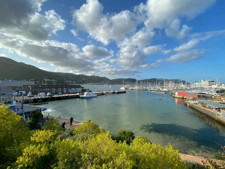
Photo by Bernd M. Schell / Unsplash
Graaff-Reinet: the Karoo town surrounded by wilderness
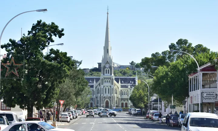
Established in 1786, Graaff-Reinet is one of South Africa’s oldest formal towns and the fourth oldest magisterial district established under the colonial administration. It was named after Governor Cornelis Jacob van de Graaf and his wife, Cornelia Reynet.
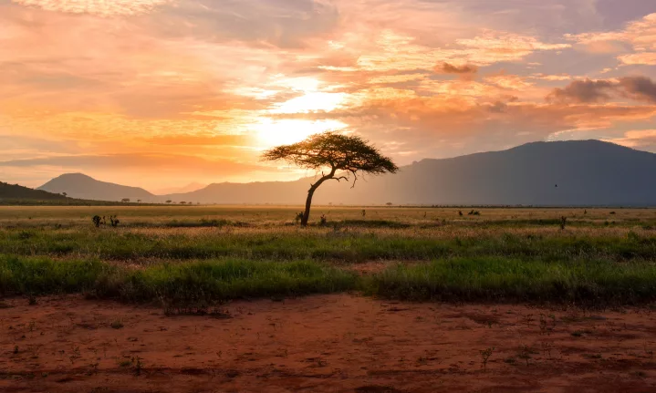
Unlike the lush Winelands, Graaff-Reinet sits in the stark beauty of the Great Karoo, surrounded almost entirely by the Camdeboo National Park.
The town has more than 220 heritage sites and an unusually rich collection of Cape Dutch, Victorian and Karoo architecture.
But the deeper history of the area is much older. Within the surrounding landscape are archaeological traces of hunter-gatherer communities, including the Cupule Boulder, where intentionally hammered depressions are believed to have had ritual or symbolic significance.
Why visit?
Graaff-Reinet is where history and landscape really come together. Spend time exploring the town’s heritage buildings before heading into Camdeboo National Park, which virtually surrounds it. The park offers game viewing, birding, hiking, mountain biking, 4×4 routes and scenic viewpoints.
The star attraction is the Valley of Desolation, where enormous dolerite columns rise above the Great Karoo. The viewpoints are easily accessible, while the Crag Lizard Trail and longer Eerstefontein walks offer the chance to explore further on foot.
For a South African road trip that combines heritage with wide-open scenery, Graaff-Reinet is difficult to beat.
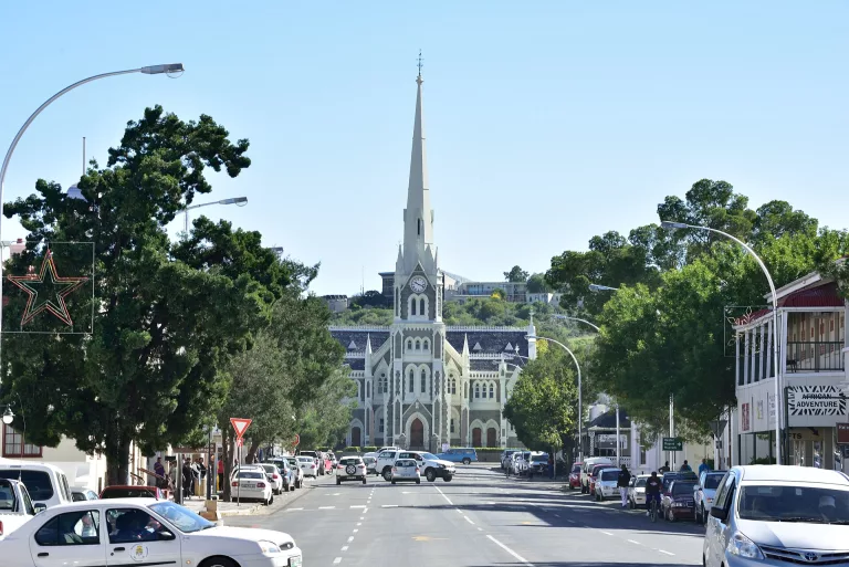
Photo by South African Tourism/ Wikimedia Commons
Richtersveld: a living cultural landscape thousands of years in the making
This is where the conventional definition of an “old town” starts to fall apart.
The Richtersveld Cultural and Botanical Landscape in the Northern Cape is not an old town at all. It is a vast, mountainous desert landscape where the Nama people continue a semi-nomadic pastoral way of life.
UNESCO recognises seasonal patterns in the landscape that may have persisted for as much as 2 000 years. The Nama move between grazing areas and stock posts, traditionally using portable rush-mat houses known as haru oms, while maintaining detailed knowledge of the landscape and its medicinal plants.
It is an extraordinary example of a place where cultural heritage is not something locked behind glass. The landscape itself is part of the heritage. The Richtersveld was inscribed as a UNESCO World Heritage Site in 2007 as a living, evolving cultural landscape.
Why visit?
For the scenery, certainly. But more importantly, for the opportunity to understand how people have adapted to one of the country’s harshest environments.
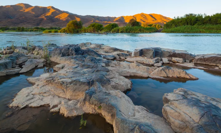
The surrounding Richtersveld National Park is rugged and remote, with dramatic mountains, the Orange River, unusual desert vegetation and distinctive rock formations. Visitors should be prepared for a proper wilderness experience, with 4×4 travel required in much of the park.
It is the kind of destination where slowing down is part of the experience. Drive, hike, photograph the landscape and, where possible, seek out community-led experiences that allow the Nama story to be told by the people connected to it.
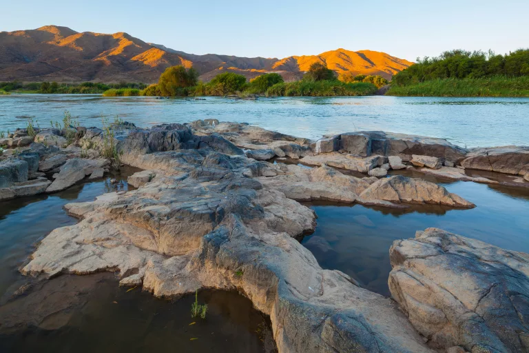
Photo by Chris Stenger / Unsplash
ǂKhomani Cultural Landscape: a history measured in millennia
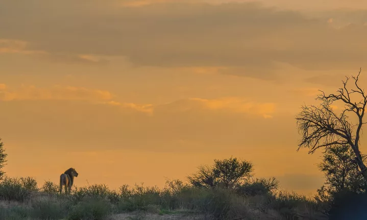
Further north, the red dunes of the Kalahari tell an even older story.
The ǂKhomani Cultural Landscape, on South Africa’s border with Botswana and Namibia, contains evidence of human occupation from the Stone Age to the present. UNESCO describes the landscape as being associated with the ǂKhomani San and their deep knowledge of plants, animals, water and survival in an extremely demanding environment.
This is not simply an archaeological story. The ǂKhomani community continues to reclaim and revive cultural knowledge, languages and traditions that were severely disrupted by forced removals during apartheid.
The landscape was inscribed as a UNESCO World Heritage Site in 2017.
Why visit?
The obvious draw is the Kgalagadi Transfrontier Park, with its enormous dunes, wildlife and big skies. But visitors interested in the cultural history of the landscape should also make time for the ǂKhomani heritage interpretation at Twee Rivieren.
The SANParks interpretation centre showcases the knowledge and stories of the people of the Southern Kalahari and was established specifically to honour the ǂKhomani cultural landscape.
There is also a bigger lesson here. Visiting the Kalahari is not simply about seeing an ancient landscape. It is about understanding that the landscape has always had people in it, and that their relationship with it is part of what makes the place extraordinary.
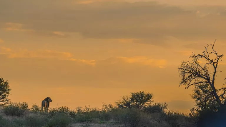
Photo by JOBOGAERTS / Wikimedia Commons
So, what is South Africa’s oldest continuously inhabited place?
There is no single neat answer. If we are talking about formal towns and cities, Cape Town is the country’s oldest established city, with its colonial settlement dating to 1652, followed by Stellenbosch in 1679 and Swellendam in 1745. Graaff-Reinet followed in 1786, while Simon’s Town developed as an important settlement around its VOC anchorage from 1743.
But that ranking only tells one version of South Africa’s history. Look beyond the colonial town and the timeline stretches back thousands of years. The ǂKhomani Cultural Landscape carries evidence of human occupation from the Stone Age to today, while the Richtersveld preserves Nama pastoral traditions that UNESCO says have persisted for as much as two millennia.
That is perhaps the most interesting thing about travelling through South Africa’s oldest places.
The real story is not simply about how old the buildings are. It is about the people who lived here before them, the people who built the towns, the people who were displaced from them, and the communities who continue to give these landscapes meaning. Because sometimes the oldest places are not the ones with the oldest buildings. They are the ones where the connection between people and place has managed to survive.
Follow us on social media for more travel news, inspiration, and guides. You can also tag us to be featured.
Instagram | Facebook | Twitter | Spotify
ALSO READ: