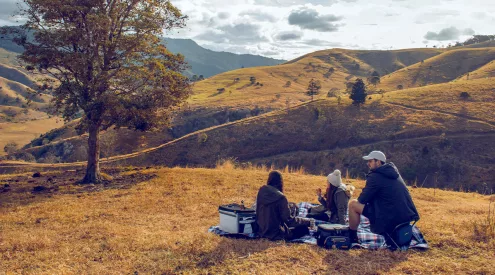

Travelling is all about finding fortune and locating your destination can be a breeze if you have the right maps.
Size matters

Tracks4Africa paper map
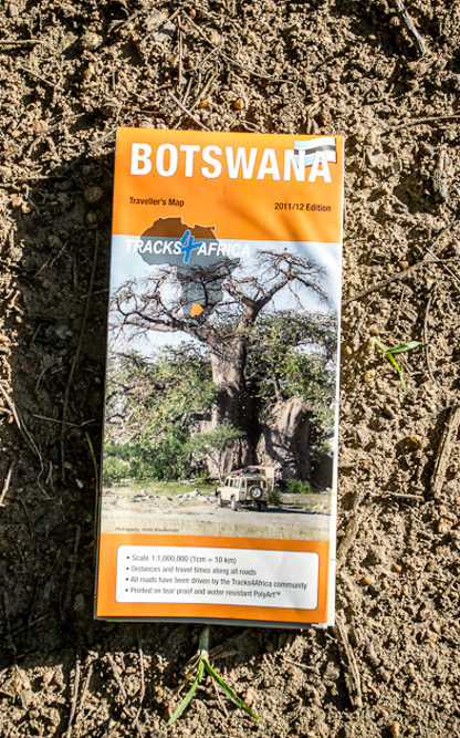
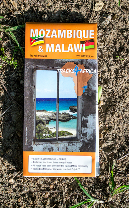
Tracks4Africa has taken to its task of ‘making Africa visible’ with impressive success. What started as a community of adventurers sharing remote GPS coordinates has become the ultimate traveller’s resource. Printed onto tear-proof and water-resistant paper, the maps cover Botswana, Namibia and Malawi/Mozambique and are impeccable for planning any journey, no matter how obscure (the Namibian offering was named 2012’s best folded map by the International Map Trade Association – yes, there are map awards).

Tracks4Africa Botswana and Mozambique/Malawi
The maps include innovative travel-time guides that take road conditions into consideration as well as the standard distance guide and valuable cross-country driving advice. They also list operating hours of border-control facilities and details on currency, fuel availability, water quality and when to go. The size of these maps (125#cm x 100#cm) may seem impractical for a car journey, but the scale (1#cm: 10#km) allows for the inclusion of crucial details lacking on other maps.
Cost R159,99 each. tel 0861-553-322, www.tracks4africa.co.za.
*Getaway holds the right to lay claim to Paul Kruger’s legendary golden bounty (now worth more than R2 billion) if it’s found with the use of any of these maps.