







South Africa is bracing for disruptive rain, severe thunderstorms, damaging winds and rough seas in several parts of the country on Tuesday, 15 September, with the South African Weather Service (SAWS) issuing multiple yellow-level warnings.
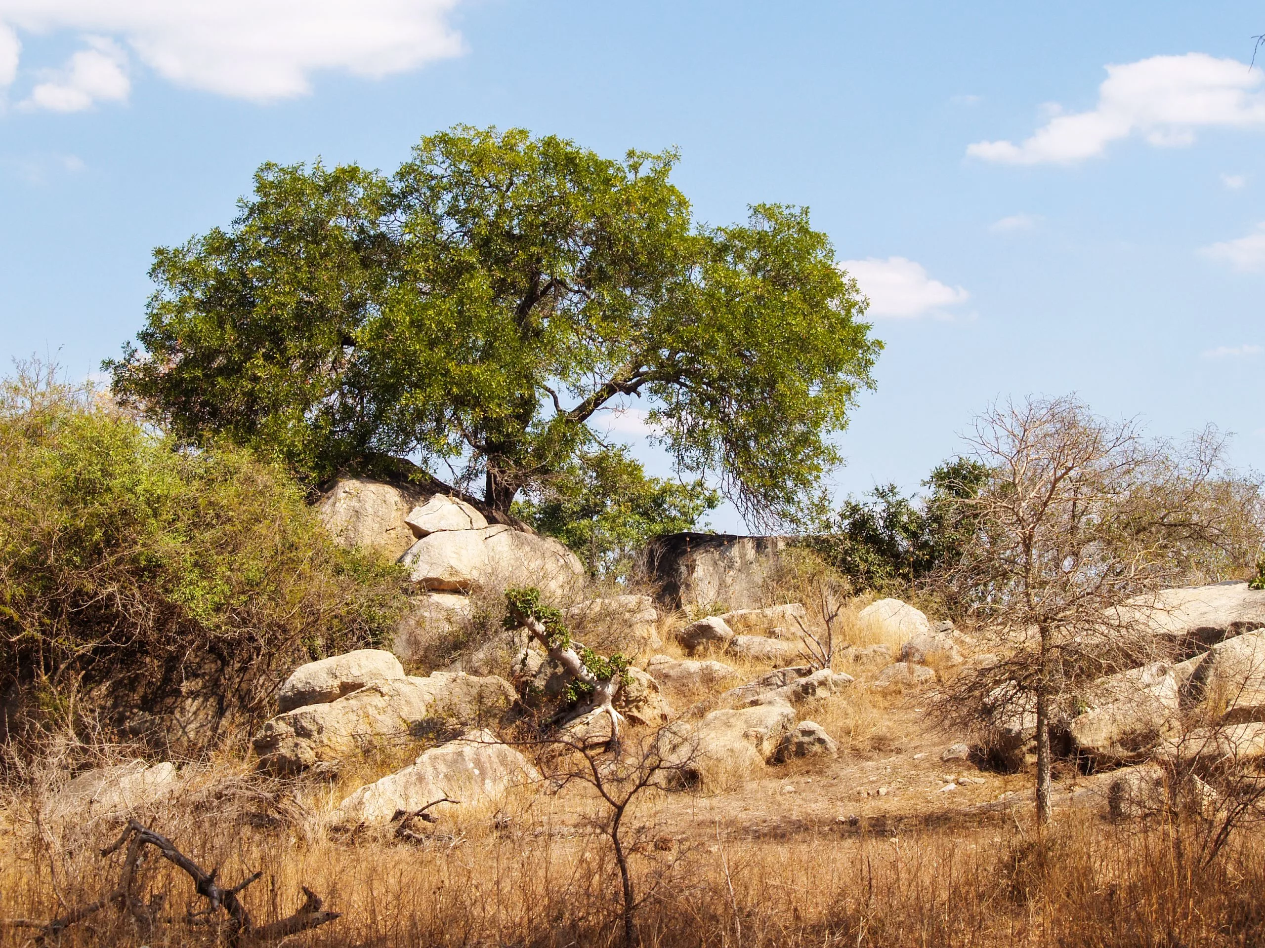
Ndumiso Mvelase / Pexels / Illustrative purposes only
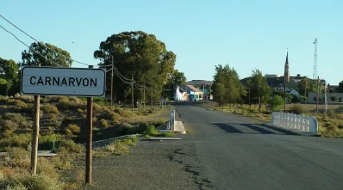
A yellow level 4 warning has been issued for disruptive rain that could cause flooding of roads and settlements and major traffic disruptions in eastern Namakwa in the Northern Cape and the Central Karoo District of the Western Cape.
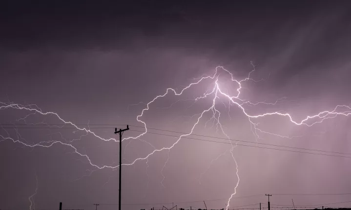
Saws has also issued a yellow level 2 warning for severe thunderstorms and excessive lightning in parts of the Northern Cape and Western Cape, while the northeastern coast and adjacent interior of the Eastern Cape are under a yellow level 1 thunderstorm warning.
‘Partly cloudy and cool to warm with isolated to scattered showers and rain,’ SAWS said in its forecast for Tuesday.
Damaging winds are expected in parts of the North West, Northern Cape, Free State, Limpopo and Eastern Cape, while KwaZulu-Natal faces a yellow level 2 warning for damaging winds and waves.
Extended weather forecast for Thursday and Friday, 17-18 September 2026:
Partly cloudy and cool to warm with isolated to scattered showers and thundershowers but widespread in south-east. It will be cold to very cold in the west.#weatheroutlook #saws #Warning #spring pic.twitter.com/gRCuYS3sFA— SA Weather Service (@SAWeatherServic) September 15, 2026
The weather service warned that the conditions could cause damage to informal settlements, infrastructure and temporary structures, as well as power and communication disruptions.
The Western and Northern Cape are expected to bear some of the worst conditions, with heavy downpours, lightning, hail, strong winds and rough seas possible.
In Gauteng, residents can expect partly cloudy and warm conditions with isolated showers and thundershowers.
Mpumalanga and Limpopo are expected to experience cloudy conditions in places, with morning drizzle and fog along the escarpment and isolated showers and thundershowers.
The Northern Cape is forecast to be cloudy, windy and cool to cold, with scattered showers and thundershowers, becoming widespread over the eastern and central parts.
The Western Cape is also expected to be cloudy and cool to cold, with scattered showers and thundershowers.
Saws has additionally warned of extremely high fire danger conditions in parts of Limpopo.
The weather service urged residents in affected areas to take precautions as severe weather could disrupt travel, infrastructure and essential services.
Originally published by Cape {Town} etc
Follow us on social media for more travel news, inspiration, and guides. You can also tag us to be featured.
Instagram | Facebook | Twitter | Spotify
ALSO READ:
Bontebok National Park partially reopens after devastating floods