The Forgotten Highway Route stretches 1,000 km from the southern towns of Tulbagh and Ceres to Kuruman in the north. It gives us an insight into South Africa’s diverse history, having been travelled by the San (!Xam), Khoi (Khoekhoe), Tswana tribes, early missionaries, and explorers. This route is more than a scenic drive; it embodies the history and stories that shaped the land.
Historical background of The Forgotten Highway
- Late 1700s: The San and Khoi used this ancient path for hunting and herding, while the Xhosa settled along the Gariep River. Early traders and missionaries followed for trade.
- 1780–1860: Trekboers moving north interacted with groups like the San, Korana, Xhosa, Griqua, and Tlhaping, leading to cultural exchanges and conflicts.
- 1823: The Moffat Mission in Kuruman connected the Cape Colony to the African interior. William Burchell mapped the area, documenting wagon routes that later became part of the Forgotten Highway.
Routes and towns of The Forgotten Highway
By the 1850s, the Forgotten Highway lost prominence due to newer roads to Paarl and the Eastern Cape. However, it remains significant in South Africa’s frontier history, reflecting early interactions among the Khoi, San, Griqua, and trekboers. The Karoo Development Foundation now seeks to celebrate this heritage.
Local conservationists have restored historic sites in towns like Tulbagh, Ceres, Fraserburg, and Griquatown. Museums such as Wonderwerk Cave and Wildebeestkuil showcase ancient rock art and artifacts, preserving the region’s stories.
Core Towns on the Route
The Forgotten Highway Route is 1000 km long. It connects Tulbagh to Kuruman, passing through the scenic Ceres Karoo, Roggeveld, Nuweveld, Bo-Karoo, Griqualand West, and into the Kalahari. Key towns along the route include:
- Tulbagh
- Ceres
- Sutherland
- Fraserburg
- Williston
- Loxton
- Carnarvon
- Prieska
- Griquatown
- Danielskuil
- Kuruman
Other noteworthy places include Witsand Nature Reserve, Victoria West, and Matjiesfontein, where fossils, rock art, and remnants of early explorers enhance the journey.
The Legacy of the Forgotten Highway Route
The Forgotten Highway is a significant part of South Africa’s history, despite modern highways being faster. Reviving this route for tourism highlights its historical importance and the cultures that once thrived here, allowing visitors to explore trade routes and the heritage of the land’s first peoples.
Today, the Forgotten Highway serves as a reminder of the past, offering a journey filled with historical sites for history enthusiasts and curious travelers. Notable figures like William Burchell, a prominent naturalist who mapped the area, underscore the route’s significance.
This article outlines a five-day journey along the Forgotten Highway (look out for Part 2), detailing the sights and experiences along the way. The trip will follow the old transport routes of Boer trekkers and mountain passes in the Northern Cape Karoo, revealing rich history and stunning landscapes.
Getaway has explored many places in the country, but this journey emphasizes the history and old routes that shaped our towns. As we travel the ox wagon routes and mountain passes of the Northern Cape Karoo, we’ll share our experiences and what to expect from this route’s rich history and breathtaking scenery.
Day 1: Oudekloof Wine Farm, Tulbagh

Tractor Ride Options: Summer rides – Saturdays at 6 PM Winter rides: Saturday mornings at 9 AM and afternoons at 4:30 PM
On Friday, September 20, a group of journalists itching to explore the Forgotten Highway met at Oudekloof Guest Farm, located just west of Tulbagh.
To start our trip, the proprietor and heritage enthusiast Andrew Jaeger took us on a tractor ride up the Oudekloof Pass, where we enjoyed stunning views of the Tulbagh Valley and Swartland. His tractor is called Tant Grietjie, and it captures the old-style feel of this majestic wine farm.
In 1699, Governor Willem Adriaan van der Stel admired this area, calling it “the most beautiful landscape” and naming the valley Het Land van Waveren in honor of his Dutch in-laws. Today, Oudekloof Farm retains its charm with a quaint shop selling trinkets, while we sampled the superb range of Oudekloof wines, jams, and honey produced right on the farm.
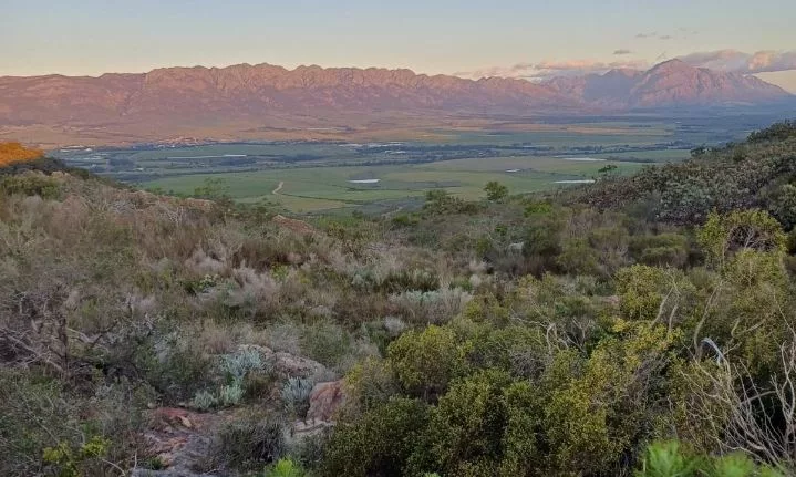
As we explored, we learned about the historic significance of the Oudekloof Pass:
- The route from Wellington to Tulbagh dates back to 1658, when Jan van Riebeeck sought a northern passage to trade with the Khoi people.
- Tulbagh’s history is linked to the Dutch East India Company, established in 1602, which used the Cape of Good Hope as a key halfway point on long voyages.
- In 1658, Pieter Potter described the land near the Obiqua Mountains as a “barren landscape,” which later became known as Roodezand due to its reddish sand. This valley eventually transformed into the beautiful Tulbagh valley and village.
- The journey from Cape Town was extremely challenging. Tragically, at least two members of the party died: one due to illness, and the other was attacked by a lion. Fifty years later, Governor Simon van der Stel returned to Tulbagh via the same route.
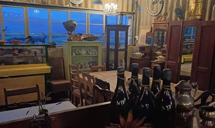
We ended the day with drinks, reflecting on our experiences and the captivating history of the Forgotten Highway.
Accommodation – Oudekloof Wine Estate rates
From R950 pn
*Rates may vary according to season/number of people
Address: Oudekloof Farm, Tulbagh, 6820
082 440 9459, Book here.
Explore More: For additional insights into the region’s history, visit Mountain Passes of South Africa, which offers maps, videos, and driving tips to enhance your understanding of the past.
Day 2: Tulbagh to Ceres and Prince Alfred Hamlet
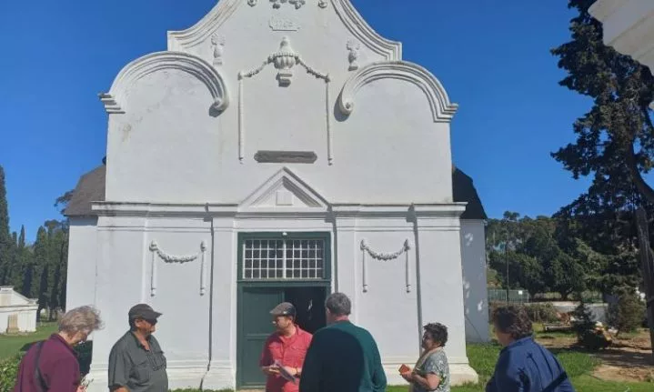
We began the day with a historical tour of Tulbagh, led by local historian Jason Augustyn-Clark.
On our second day, we travelled from Tulbagh to Ceres and then to Prince Alfred Hamlet.
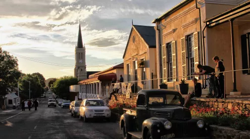
Tulbagh is a beautiful town known for its lush vegetation. As we walked along Church Street, we saw many restored Cape Dutch, Edwardian, and Victorian houses. The community’s efforts to rebuild after the 1969 earthquake, which destroyed many buildings and claimed 12 lives, have enhanced the town’s charm.
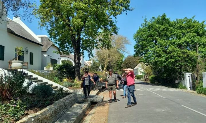
Photo: Elsa Wessels
Jason took us through various museums, where we learned about the town’s unique history through stories, artefacts, and relics.
Historical Highlights:
- The District of Tulbagh was established in 1804 by Commissioner de Mist, with the Drostdy building, designed by Louis Michel Thibault, as its centerpiece and the Magistrate’s seat.
- At the Oude Kerk Volksmuseum, we spotted whimsical gargoyles meant to ward off evil, adding a quirky touch.
- The Earthquake Museum commemorates the devastating 1969 earthquake and honors the restoration efforts.
- Jason also shared the history of the Nuwekloof Pass, which began as a cattle track and evolved into a vital route. Botanist Carl Peter Thunberg noted in 1772 that the pass was so narrow two wagons could hardly pass, but it now offers scenic valley views.
Ceres Highlights:
After exploring Tulbagh, we drove through Michell’s Pass to Ceres, arriving around 3 PM. We visited the Togryers Museum, a former 1930s flour mill, and enjoyed a finger lunch while learning about Ceres’ history.
Founded in the early 18th century, Ceres is famous for its landscapes and fertile land, with the 1838 meteor fall being a notable event.
- The 1838 Cold Bokkeveld Meteor Fall, South Africa’s only documented meteor fall, drew scientists worldwide to study its fragments.
- The Diggers Route, used by miners heading to Kimberley’s diamond fields in the 1860s, played a key role in Ceres’ development.
Prince Alfred Hamlet: A Neighbouring Gem
After our visit to Ceres, we travelled about 10 km to Prince Alfred Hamlet, a small village with its own unique identity.
Some residents may not feel a strong connection to Ceres, but Prince Alfred Hamlet has a close-knit, charming community. Founded by Johannes Cornelis Goosen, we encountered a lively village wedding at the local hotel in the afternoon.
Accommodation – The Hamlet Country Lodge rates
From R1,000 pn
*Rates may vary according to season/number of people
Address: 10 Voortrekker St, Prince Alfred Hamlet, 6840
023 313 3070, Book here.
Day 3: Ceres to Sutherland
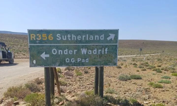
Ceres to Sutherland
Buckle up, adventurers! Today’s scenic drive to Sutherland felt like a journey back in time, echoing Norway’s old Lysebotn Road. With each turn, we discovered stunning vistas and winding paths.
In 1811, explorer William Burchell traveled this route at night, noting the clear, starry Karoo skies and the well-maintained road, thanks to passing wagons.
On the Bo-Swaarmoed road, we breathed in the crisp air and admired Matroosberg mountain. The fertile Ceres valley ends at Karoopoort farm, the gateway to the Tankwa Karoo, where we enjoyed tea under a Karee tree, just as William Burchell did in 1811.
The arid Tankwa, with its gravel roads and open plains, felt peaceful. We saw the Ongeluksrivier, which flows from the Roggekloof mountains. Often dry, its name, “River of Misfortune,” reflects the area’s harsh conditions and the resilience of those who crossed it.
Tjol Se Gat: A Welcoming Stop
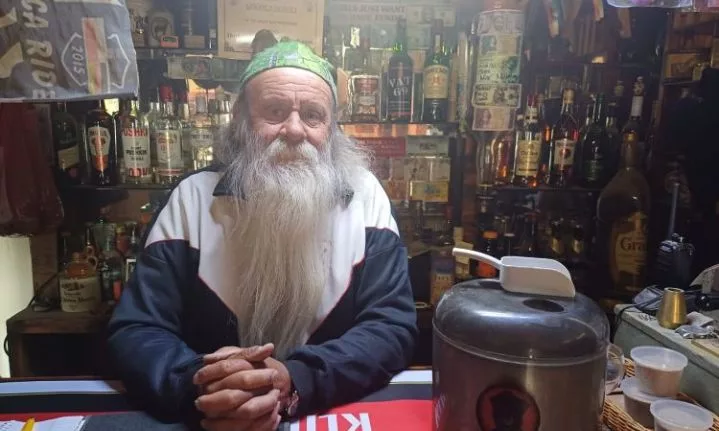
Tjol and Jacqui, the welcoming owners, embody the essence of Karoo hospitality, inviting everyone to relax and share their experiences.
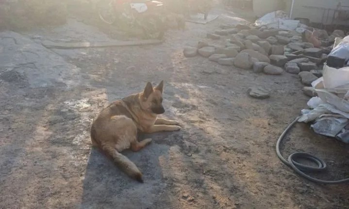
Our favourite dog – Koffie
We stopped at Tjol Se Gat, a lively bar that was once a toll house. The owners, Tjol and Jacqui, welcomed us with warmth and hospitality. We enjoyed a cold beer and shared stories with other travellers about their adventures and simpler times.
Continuing our journey through the Rogge Cloof Private Nature Reserve, we didn’t spot cheetahs, but the reserve, home to around 2,000 springbok, showcases diverse wildlife. Situated on a high inland plateau, Rogge Cloof offers biting winds, absolute silence, and stars that feel close.
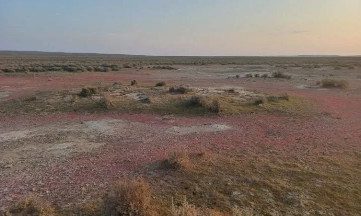
The little succulent, Osbloed (“ox blood”) on the way to Rogge Cloof Estate
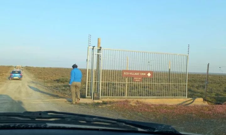
Photo: Elsa Wessels
With the day’s travels enriching our spirits and the stories of the land weaving into our hearts, we looked forward to what awaited us in Sutherland.
Tjol se Gat, Toolhuis Room and Caravan Park rates
Toolhuis Room from R500 pn
Toolhuis Caravan Park from R150 ppn
*Rates may vary according to season/number of people
Address: R354
082 574 0072, Book here.
Spotlight: Rogge Cloof Estate
Rogge Cloof, meaning “rye ravine,” dates back to 1756 when acquired by Joachim Scholtz, a descendant of German and Nordic immigrants. Over 250 years, various owners have shaped this challenging landscape, enduring droughts and harsh conditions.
This place has a unique European feel, especially during the winter months when snowfall in Sutherland is common.
Accommodation – Rogge Cloof Private Nature Reserve rates:
From R2,500 pn
*Rates may vary according to season/number of people
Address: R354, Sutherland, 6920
023 004 1161, Book here.
Rogge Cloof Private Nature Reserve is a memorable stop, blending Karoo history with natural beauty, inviting all to explore its charm, even beyond the Forgotten Highway.
Day 4: Exploring Sutherland
We began our day with a hearty breakfast at Rogge Cloof, then visited the newly refurbished birthplace of Afrikaans poet NP van Wyk Louw. Though still under renovation, the museum promises to be a key site for Afrikaans heritage.
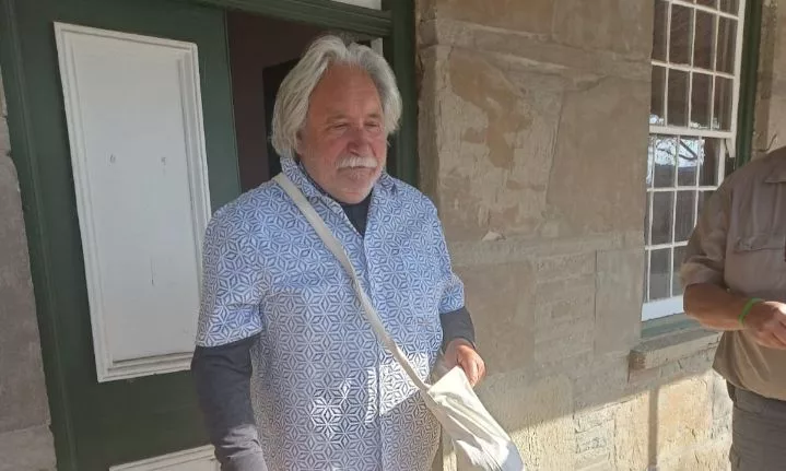
Gerard Scholtz – NP van Wyk Louw Museum
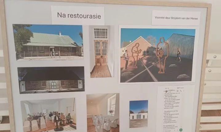
Before Restoration. This museum will be a discovery of Afrikaans history.
We explored the Dutch Reformed Church with Darius van der Merwe. Built in 1898 with Canadian and local influences, it seats 1,200 and cost £12,000. The church bears Anglo-Boer War graffiti and signs of wear from that era.
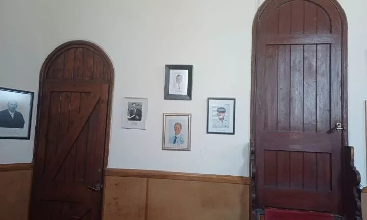
In the quarters of the Duminy of the church
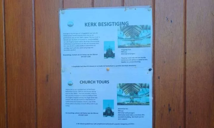
Dutch Reformed Church – A tour by Darius Van Der Merwe
We then made a visit to the Southern African Large Telescope (SALT) for a guided tour. Our guide, Patrick, explained the impressive facility and its connection to astronomy, impressing on us the enormity of the universe.

Salt tour guide Patrick
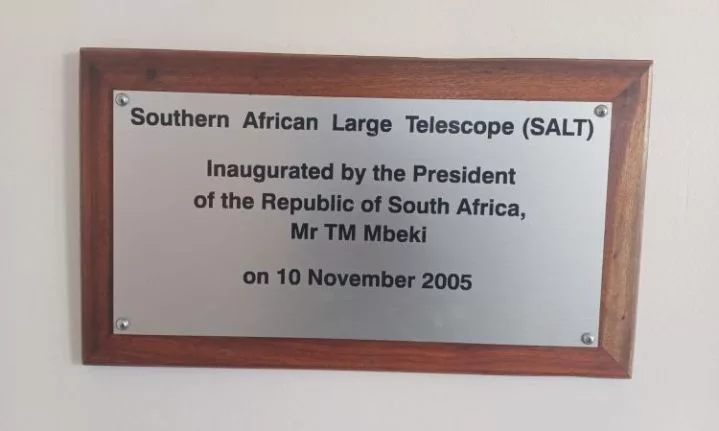
SALT Inaugurated in 2005

Iniside SALT – Temperature must remain the same inside and outside. Air conditioners help to maintain this process.
After lunch, we joined the vigorous Sutherland on Foot tour led by Amanda-Marais du Preez. This tour highlighted the town’s rich history, including its past as a port for Boer concentration camps.
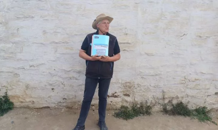
Sutherland on Foot Tour: A deep dive into the town’s history and heritage, led by Amanda-Marais du Preez
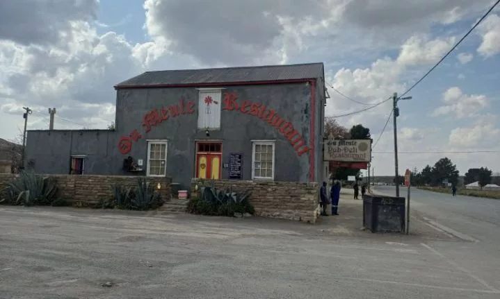
Die Ou meule restaurant. Building est 1920
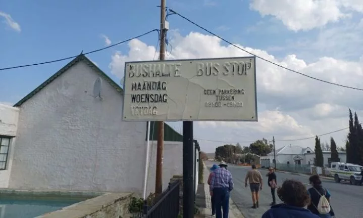
Bushalte bus stop est 1900s
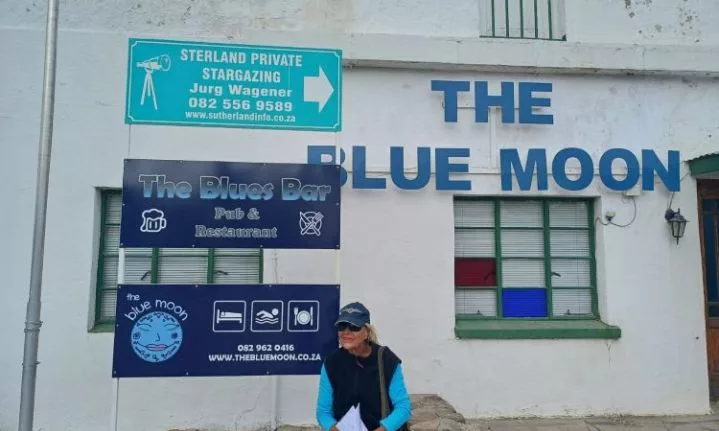
Known for its dark skies, Sutherland is perfect for stargazing. A peaceful night under the stars was a fitting end to our exploration of this unique town, blending cosmic beauty with the rich history of the Forgotten Highway.
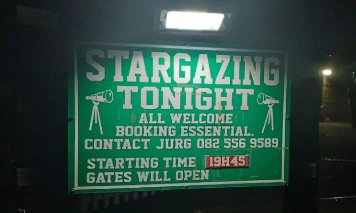
Now time for some stargazing
Day 5: Sutherland to Fraserburg
We started our morning with warm coffee and beskuit at Rogge Cloof, setting the tone for our journey to Fraserburg. The Rantepad route, rich in beauty and history, offered stunning views of the escarpment and valley below.
This road has seen early explorers like Burchell and the Somerville-Truter party, who documented the extreme weather and breathtaking scenery.
Our first stop was near the Groot Riet River, where Burchell’s expedition once camped. Originally a series of ponds, the river now hosts diverse wildlife and stunning landscapes that inspired Burchell’s paintings. Imagining his party by the water, we felt a connection to the vast, untamed landscape he first encountered.
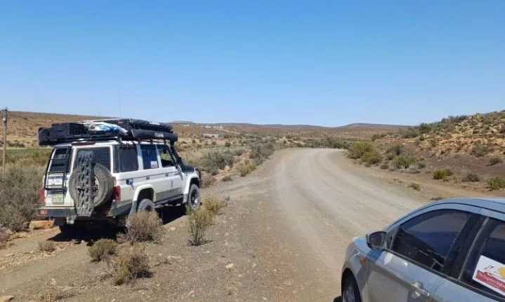
The road to Fraserburg
The road to Fraserburg
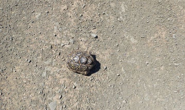
A Geometric tortoise spotted along the Forgotten Highway route, this critically endangered species added a unique thrill to our adventure
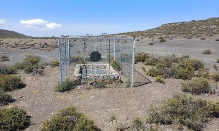
On the rugged plains of Sutherland, nine men of Marshall’s Horse gave their lives for the British cause during the Second Boer War. This quiet grave, we passed on the road to Fraserburg, stands as a solemn reminder of their sacrifice. As Rupert Brooke once wrote in “The Soldier”: ‘If I should die, think only this of me: That there’s some corner of a foreign field That is forever England.
Upon arriving in Fraserburg, we wandered through the quiet streets, enchanted by its old homesteads. Founded in 1851, the town lies along a route used by early travelers. One can easily sense the presence of settlers who crossed the plains with oxen and wagons. At one time, Burchell’s group camped under the stars, sharing the land with a few Khoi shepherds and the occasional lion or dassie.
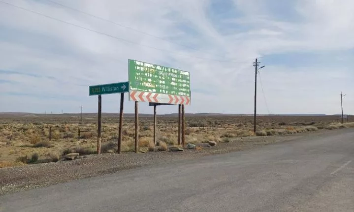
Williston board
Exploring Fraserburg
We met our guide, Herman De Vries, Secretary of Tourism in Fraserburg, who led us on an insightful museum tour, highlighting the region’s rich heritage.
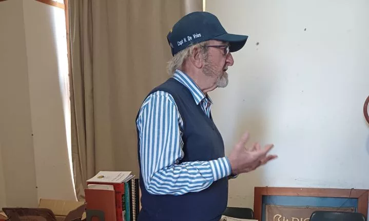
Herman De Vries – Secretary of Tourism in Fraserburg
During our exploration, we learned about the forced removals in Fraserburg during apartheid, where locals were displaced to the outskirts due to the Group Areas Act. This dark chapter added depth to our journey, highlighting the community’s resilience, and local discussions are underway to revive this history.
After a nice lunch, we explored Fraserburg’s heritage treasures, including ancient dinosaur footprints dating back about 200 million years. This humbling experience reminded us of the land’s stories long before humans, creating a powerful connection to deep time.
Fossils are evidence of past life preserved in rock. The rocks near Fraserburg were formed by large rivers that once flowed north, burying reptile skeletons in silt and clay during floods. Over millions of years, this mud turned into mudrocks, replacing the bones with silica to form fossils, mostly found on steep slopes and in stream beds.
Our journey brought us to Gansfontein Farm, where we were greeted by our enthusiastic guide, Marinda Oberholzer. Marinda introduced us to the remarkable palaeontological discoveries made along the watercourse on the farm, now known as the Gansfontein Palaeosurface.
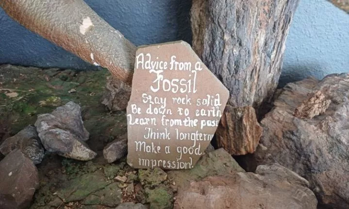
Advice from a fossil
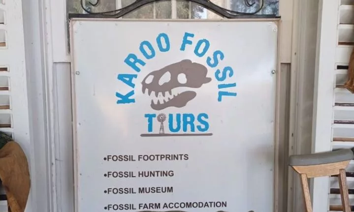
Karoo fossil tours – Tour by Marinda Oberholzer
Accommodation – Kliphuis Guest House rates
*Rates may vary according to season/number of people
Address: 5 Voortrekker St, Fraserburg, 6960
082 375 8602
The Origins of the Forgotten Highway Route
The Karoo Development Foundation (KDF) in Loxton has created this heritage route, officially launched in August 2022. Although it passes through lesser-known areas, it generated significant interest from the start. For more information, visit www.karooforgottenhighway.com or contact Prof. Doreen Atkinson at 071 401 2583. Join the vibrant WhatsApp group or follow the route on Facebook (www.facebook.com/forgotten.highway.route).
For travel inquiries, contact Zatrax Travel at www.zatrax.com, Gerrit van der Merwe, [email protected], Cell 082 655 8133.
Planning The Trip:
The first leg of our journey along the Forgotten Highway has been incredible. From the rich histories of Tulbagh and Ceres to the stunning landscapes of Sutherland and Fraserburg, we’ve uncovered many layers of history along this route. Each town holds unique stories waiting to be explored, and we’re eager to continue our adventure.
As we prepare to move on, we carry with us cherished memories—stories, laughter, and the profound history of South Africa that shapes its present. The Forgotten Highway is more than just a road; it’s a journey through time, connecting us to the past.
Stay tuned for the next part, where we’ll explore more towns and discover even more fascinating history along the Forgotten Highway!
Pictures: Nelson Kalula
Follow us on social media for more travel news, inspiration, and guides. You can also tag us to be featured.
TikTok | Instagram | Facebook | Twitter
ALSO READ: A train journey through Africa goes awry


