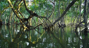


Cape Town may have lost more than 5 000 hectares of potential wetland area over nine years, with new figures from the City highlighting the growing pressure on the Mother City’s natural water systems.
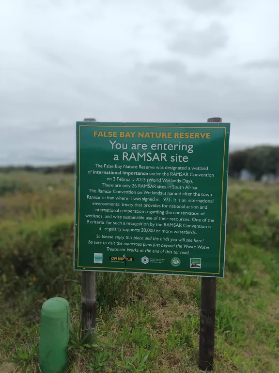
False Bay Nature Reserve/Josefito123/Wikimedia Commons
The findings are contained in the City of Cape Town’s 2025/26 Spatial Trends and Implementation Tracking Report, which examines development and land-use patterns across the metro between 2012 and 2026.
According to the report, Cape Town’s estimated wetland area decreased from approximately 33 106 hectares in 2016 to 28 002 hectares in 2025. This represents a net decline of around 5 104 hectares, equivalent to approximately 15% of the mapped potential wetland area.
Which areas have been affected?
Several wetland systems across Cape Town have been identified as experiencing pressure from urban development, land invasions and environmental degradation.
At Driftsands Nature Reserve, associated vleis have been affected by land invasions during the Covid-19 period. Noordhoek Vlei has also experienced pressure from the expansion of informal settlements extending from Masiphumelele.
Other areas highlighted in the report include the Diep River and Kleine Stink River floodplains, seasonal vleis in the Slangetjiebos section of False Bay Nature Reserve, and wetlands along the lower Kuils and Eerste rivers.
The report points to a combination of human activities and changes to natural water systems as contributing factors.
“On-the-ground observations indicate significant wetland transformation and degradation associated with urban expansion, land invasion, pollution, and hydrological modification,” the report states.
Drought and urban development among contributing pressures
Rainfall patterns have also played a role in the fluctuations recorded over the assessment period.
The severe drought experienced between 2015 and 2018, followed by wetter conditions in subsequent years, coincided with changes in the estimated extent of potential wetlands across Cape Town.
The report suggests that reduced surface water availability and weaker hydrological connections contributed to lower wetland estimates between 2017 and 2022.
While some recovery was recorded during wetter periods, the longer-term trend points to continued pressure on the city’s wetland systems.
The report identifies urban expansion, land transformation, changes to natural water systems and climate change as potential contributors to the decline.
Understanding the wetland figures
The estimated 15% decline does not necessarily mean that 5 104 hectares of wetlands have been physically destroyed.
The figures are based on wetland probability mapping, using a machine-learning classification method to identify areas with characteristics associated with potential wetlands. They therefore reflect changes in mapped potential wetland extent rather than a direct count of wetlands lost or physically verified on the ground.
The findings nevertheless provide an indication of the pressures facing Cape Town’s natural landscapes as the city continues to grow.
Follow us on social media for more travel news, inspiration, and guides. You can also tag us to be featured.
Instagram | Facebook | Twitter | Spotify
ALSO READ: